By: Frank Corder, Magnolia Tribune
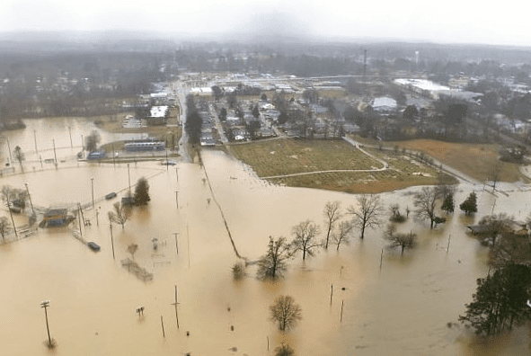
Flood maps could be changing in the City of Grenada and Grenada County as the Federal Emergency Management Agency has included the Mississippi area in its latest round of proposed flood hazard determinations updates.
According to a notice posted on the Federal Register on Thursday, the Grenada area is one of 12 locations where FEMA is considering additions or modifications to Base Flood Elevation (BFE), base flood depth, Special Flood Hazard Area (SFHA) boundary or zone designation, or regulatory floodway on the Flood Insurance Rate Maps (FIRMs) in support of Flood Insurance Study (FIS) reports.
“The FIRM and FIS report are the basis of the floodplain management measures that the community is required either to adopt or to show evidence of having in effect in order to qualify or remain qualified for participation in the National Flood Insurance Program (NFIP),” FEMA notes.
Not adopting federal flood risk management guidance could put local communities, their residents and businesses at risk of losing access to the NFIP.
Residents in the Grenada area can review the proposed changes at the Grenada City Hall or the Grenada County Courthouse. Comments are being received until January 22, 2025.
Community members can appeal changes to the flood determinations if they can provide evidence that satisfies FEMA’s data requirements.

